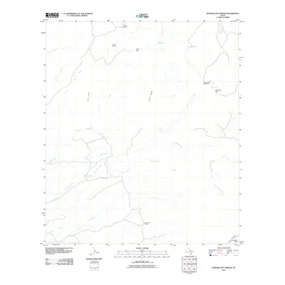
2010 Map of Ruidosa Hot Springs
USGS Topo · Published 2010About this map
Ruidosa Hot Springs and the surrounding high desert of Presidio County are defined by a network of seasonal drainages and isolated ranching outposts. The landscape is marked by prominent topographic features such as Cerro Pardo and Cleveland Peak, where elevation changes dictate the flow of Hot Springs Creek and Arroyo Sanguijuela. Human activity in this arid environment is centered on the availability of water and minerals, evidenced by the Loma Plata Mine in the northern reaches and the thermal waters near Hot Springs Rd.
Find a feature on this map
25 named features on this map. Tap any name to fly to it.
Don’t see what you’re looking for? This feature index may not catch every label — zoom into the map to look around manually.
Map Details
Editions of this 2010 Ruidosa Hot Springs Map
This is the sole edition of this map. No revisions or reprints were ever made.
Other maps of this area

1895 · Marfa
USGS Topo · 1:125,000

1896 · Ruidosa
USGS Topo · 1:125,000

1896 · San Carlos
USGS Topo · 1:125,000

1896 · Shafter
USGS Topo · 1:125,000

1959 · Presidio
USGS Topo · 1:250,000

1959 · Marfa
USGS Topo · 1:250,000

1965 · Presidio
USGS Topo · 1:250,000

1965 · Marfa
USGS Topo · 1:250,000

1978 · Sierra Parda
USGS Topo · 1:24,000

1979 · Ruidosa Hot Springs
USGS Topo · 1:24,000