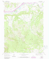
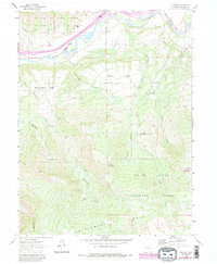
1960 Map of Rulison
USGS Topo · Published 1988About this map
The Colorado River corridor defines the northern reaches of this Garfield County survey, where the Denver and Rio Grande Western Railroad Grade parallels the water. To the north, the Naval Oil Shale Reserve sits on high ground, signaling the region's industrial and strategic importance. The small settlement of Rulison and the agricultural pocket of Morrisania Mesa occupy the lower benches before the terrain ascends sharply into the high plateaus.
Find a feature on this map
25 named features on this map. Tap any name to fly to it.
Don’t see what you’re looking for? This feature index may not catch every label — zoom into the map to look around manually.
Map Details
Editions of this 1960 Rulison Map
5 editions found
Other maps of this area

1906 · Grand Hogback
USGS Topo · 1:125,000

1910 · Grand Hogback
USGS Topo · 1:125,000

1925 · Parachute Creek
USGS Topo · 1:62,500

1927 · Parachute Creek
USGS Topo · 1:62,500

1929 · Grand Valley
USGS Topo · 1:62,500

1952 · Anvil Points
USGS Topo · 1:24,000

1952 · Rifle
USGS Topo · 1:24,000

1956 · Grand Junction
USGS Topo · 1:250,000

1957 · Leadville
USGS Topo · 1:250,000

1959 · Grand Junction
USGS Topo · 1:250,000