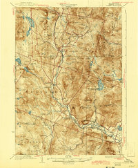
1932 Map of Rumney
USGS Topo · Published 1943About this map
The Baker River valley defines the character of this 1930s landscape, serving as a corridor for the Boston and Maine Railroad and a series of rural New Hampshire settlements. The map illustrates a transitional era where the local economy shifted from extraction and subsistence to tourism and mountain recreation. Industrial history is anchored by the Ore Hill Mine and early logging infrastructure like Jackman Camp and Camp No 5 deep within the White Mountain National Forest.
Find a feature on this map
109 named features on this map. Tap any name to fly to it.
Don’t see what you’re looking for? This feature index may not catch every label — zoom into the map to look around manually.
Map Details
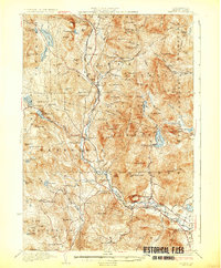
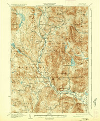
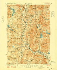
Editions of this 1932 Rumney Map
5 editions found

Other maps of this area

1925 · Holderness
USGS Topo · 1:62,500

1927 · Holderness
USGS Topo · 1:62,500

1927 · Cardigan
USGS Topo · 1:62,500

1927 · Mascoma
USGS Topo · 1:62,500

1928 · Plymouth
USGS Topo · 1:62,500

1928 · Rumney
USGS Topo · 1:62,500

1929 · Moosilauke
USGS Topo · 1:62,500

1929 · Franconia
USGS Topo · 1:62,500

1930 · Cardigan
USGS Topo · 1:62,500

1931 · Mt. Cube
USGS Topo · 1:62,500