
1932 Map of Rumney
USGS Topo · Published 1932About this map
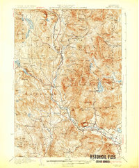
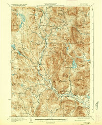
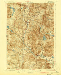
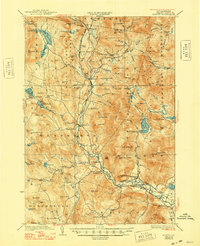
The Baker River valley defines the character of this 1932 topographic survey, serving as the primary corridor for both the Boston and Maine RR and State Highway No 25. This transit network connects several small riverfront settlements, including Wentworth, West Rumney P.O., and Rumney Depot. The surrounding uplands are dotted with family-named landmarks like Nichols Hill and Foote Hill, alongside rural infrastructure such as Maple Grove Sch and Atwell Hill Sch.
Find a feature on this map
93 named features on this map. Tap any name to fly to it.
Don’t see what you’re looking for? This feature index may not catch every label — zoom into the map to look around manually.
Map Details
Editions of this 1932 Rumney Map
5 editions found
Other maps of this area

1925 · Holderness
USGS Topo · 1:62,500

1927 · Holderness
USGS Topo · 1:62,500

1927 · Cardigan
USGS Topo · 1:62,500

1927 · Mascoma
USGS Topo · 1:62,500

1928 · Plymouth
USGS Topo · 1:62,500

1928 · Rumney
USGS Topo · 1:62,500

1929 · Moosilauke
USGS Topo · 1:62,500

1929 · Franconia
USGS Topo · 1:62,500

1930 · Cardigan
USGS Topo · 1:62,500

1931 · Mt. Cube
USGS Topo · 1:62,500