2022 Map of Runnymede
USGS Topo · Published 2022About this map
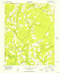
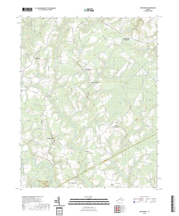
The boundary between Surry Co and Isle of Wight Co bisects a landscape defined by an intricate network of wetlands and wooded pocosin. In this modern survey, rural crossroads such as Delk Crossroads and California Crossroads remain central landmarks in a region dominated by the hydrological patterns of Moores Swamp and Mill Swamp. This particular topography of low-lying swampy terrain has dictated the placement of long-standing community centers like Runnymede and Beachland, as well as the historic Derrings Mill.
Find a feature on this map
63 named features on this map. Tap any name to fly to it.
Don’t see what you’re looking for? This feature index may not catch every label — zoom into the map to look around manually.
Map Details
Editions of this 2022 Runnymede Map
This is the sole edition of this map. No revisions or reprints were ever made.
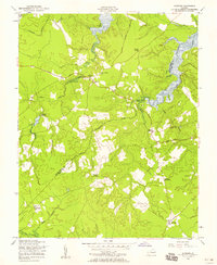
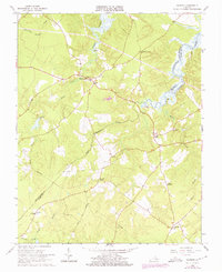
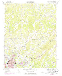
Historical Maps of Moorings Through Time
8 maps found