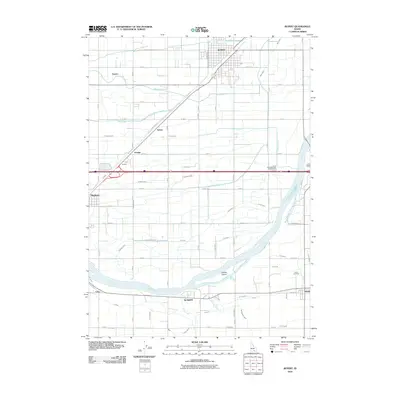
2010 Map of Rupert
USGS Topo · Published 2010About this map
The Snake River carves a sweeping path across this southern Idaho landscape, separating the agricultural grid of Minidoka County from the southern settlements. The city of Rupert serves as the regional anchor, characterized by its unique town square design and radiating rail-aligned streets. This map reveals a complex hydraulic network essential to the Snake River Plain, featuring an intricate system of canals and drains including the B Canal, Main Drain, and the A-5 Canal. Smaller communities like Springdale, Declo, and Heyburn are connected by a rigid section-line road system that defines the local geography.
Find a feature on this map
74 named features on this map. Tap any name to fly to it.
Don’t see what you’re looking for? This feature index may not catch every label — zoom into the map to look around manually.
Map Details
Editions of this 2010 Rupert Map
This is the sole edition of this map. No revisions or reprints were ever made.
Other maps of this area

1954 · Pocatello
USGS Topo · 1:250,000

1958 · Pocatello
USGS Topo · 1:250,000

1964 · Rupert SE
USGS Topo · 1:24,000

1964 · Burley NE
USGS Topo · 1:24,000

1964 · View
USGS Topo · 1:24,000

1964 · Kenyon
USGS Topo · 1:24,000

1964 · Rupert NW
USGS Topo · 1:24,000

1964 · Acequia
USGS Topo · 1:24,000

1964 · Rupert SW
USGS Topo · 1:24,000

1964 · Burley SE
USGS Topo · 1:24,000