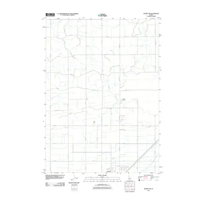
2010 Map of Rupert NW
USGS Topo · Published 2010About this map
Rupert anchors the southern margin of this 2010 landscape, situated in an area of Idaho defined by its extensive irrigation infrastructure. The map reveals a precise grid of agricultural development, where water management is central to the land's utility. Significant waterways like the B Canal and F Main Drain cut through the terrain, supporting the surrounding farmsteads. Near the center of the quadrangle, Camp Holly Lake offers a rare natural water feature amidst the man-made channels. Genealogists and local historians will find the Rupert Cemetery clearly marked along N Meridian, serving as a primary landmark for the community. The transition from the more densely settled town of Rupert to the outlying rural blocks, such as those near 500 North Rd and 200 East Rd, illustrates the structured growth of Minidoka County in the early 21st century.
Find a feature on this map
34 named features on this map. Tap any name to fly to it.
Don’t see what you’re looking for? This feature index may not catch every label — zoom into the map to look around manually.
Map Details
Editions of this 2010 Rupert NW Map
This is the sole edition of this map. No revisions or reprints were ever made.
Other maps of this area

1954 · Pocatello
USGS Topo · 1:250,000

1958 · Pocatello
USGS Topo · 1:250,000

1964 · Rupert SE
USGS Topo · 1:24,000

1964 · Burley NE
USGS Topo · 1:24,000

1964 · Rupert NW
USGS Topo · 1:24,000

1964 · Acequia
USGS Topo · 1:24,000

1964 · Rupert SW
USGS Topo · 1:24,000

1964 · Burley SE
USGS Topo · 1:24,000

1972 · Kimama
USGS Topo · 1:24,000

1972 · Max
USGS Topo · 1:24,000