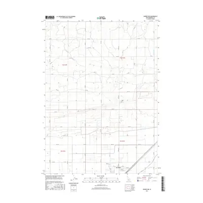
2017 Map of Rupert NW
USGS Topo · Published 2017About this map
Rupert is situated in the southeastern corner of this Idaho landscape, reflecting a highly organized agricultural and irrigation network typical of Minidoka County. The settlement pattern follows a rigorous grid of section lines and irrigation corridors, where water management is central to the land's utility. Significant waterways like the B-1 Canal, B Canal, and the Main Drain system, including branches like F Main Drain and E Main Drain, dictate the placement of roads and farmsteads. These man-made channels support the surrounding fields, which are divided by a dense network of local roads such as Baker Rd and Meridian Dr. On the northern edge of the town center, the Rupert Cem serves as a key landmark for local history and genealogy research. The transition from the structured town streets, such as Woodland St, to the broader rural township and range system illustrates the intersection of urban planning and high-desert reclamation.
Find a feature on this map
57 named features on this map. Tap any name to fly to it.
Don’t see what you’re looking for? This feature index may not catch every label — zoom into the map to look around manually.
Map Details
Editions of this 2017 Rupert NW Map
This is the sole edition of this map. No revisions or reprints were ever made.
Other maps of this area

1954 · Pocatello
USGS Topo · 1:250,000

1958 · Pocatello
USGS Topo · 1:250,000

1964 · Rupert SE
USGS Topo · 1:24,000

1964 · Burley NE
USGS Topo · 1:24,000

1964 · Rupert NW
USGS Topo · 1:24,000

1964 · Acequia
USGS Topo · 1:24,000

1964 · Rupert SW
USGS Topo · 1:24,000

1964 · Burley SE
USGS Topo · 1:24,000

1972 · Kimama
USGS Topo · 1:24,000

1972 · Max
USGS Topo · 1:24,000