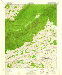
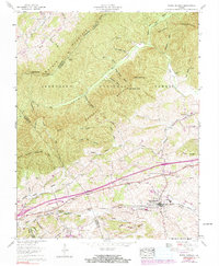
1959 Map of Rural Retreat
USGS Topo · Published 1960About this map
Walker Mountain and Brushy Mountain dominate this mid-century portrait of Southwest Virginia, where the ridge-and-valley topography dictates the flow of commerce and settlement. The Norfolk and Western rail line and Lee Highway parallel each other through the lowlands, connecting the hub of Rural Retreat with the smaller community of Groseclose. This corridor is a concentrated landscape of local history, featuring numerous family and community landmarks such as Sunset Memorial Gardens Cem, Grace Ch, and the Rural Retreat Sch.
Find a feature on this map
77 named features on this map. Tap any name to fly to it.
Don’t see what you’re looking for? This feature index may not catch every label — zoom into the map to look around manually.
Map Details
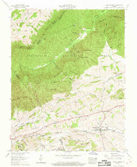
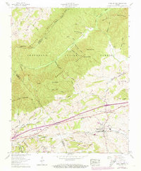
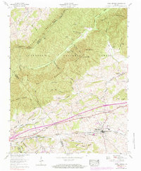
Editions of this 1959 Rural Retreat Map
5 editions found
Other maps of this area

1887 · Pocahontas
USGS Topo · 1:125,000

1889 · Wytheville
USGS Topo · 1:125,000

1891 · Pocahontas
USGS Topo · 1:125,000

1892 · Wytheville
USGS Topo · 1:125,000

1894 · Pocahontas
USGS Topo · 1:125,000

1895 · Pocahontas
USGS Topo · 1:125,000

1930 · Speedwell
USGS Topo · 1:62,500

1931 · Rural Retreat
USGS Topo · 1:48,000

1935 · Nebo
USGS Topo · 1:24,000

1935 · Cedar Springs
USGS Topo · 1:24,000