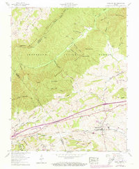
1959 Map of Rural Retreat
USGS Topo · Published 1973About this map
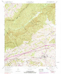
Rural Retreat serves as the central hub of this Wythe County landscape, where the Norfolk and Western railway and Lee Highway parallel one another through the Great Valley. The map captures a mid-century moment of transition as Interchange 18 and Interchange 19 signal the arrival of the modern interstate system, yet older patterns of life remain visible in the dense network of country churches like Blacklick Ch and Grace Ch.
Find a feature on this map
78 named features on this map. Tap any name to fly to it.
Don’t see what you’re looking for? This feature index may not catch every label — zoom into the map to look around manually.
Map Details
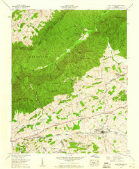
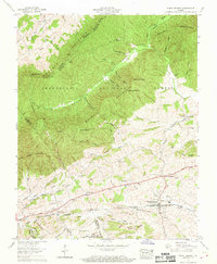
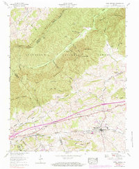
Editions of this 1959 Rural Retreat Map
5 editions found
Other maps of this area

1887 · Pocahontas
USGS Topo · 1:125,000

1889 · Wytheville
USGS Topo · 1:125,000

1891 · Pocahontas
USGS Topo · 1:125,000

1892 · Wytheville
USGS Topo · 1:125,000

1894 · Pocahontas
USGS Topo · 1:125,000

1895 · Pocahontas
USGS Topo · 1:125,000

1930 · Speedwell
USGS Topo · 1:62,500

1931 · Rural Retreat
USGS Topo · 1:48,000

1935 · Nebo
USGS Topo · 1:24,000

1935 · Cedar Springs
USGS Topo · 1:24,000