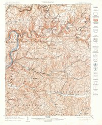
1903 Map of Rural Valley
USGS Topo · Published 1905About this map
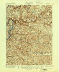
Mahoning Creek and Red Bank Creek wind deeply through the dissected plateau of Armstrong County at the opening of the twentieth century, their valleys serving as the primary corridors for early industry and transport. Evidence of the region’s iron heritage is clear in the locations of Pine Furnace, Mahoning Furnace, and Mccrea Furnace, marking sites where local resources were processed before the industry shifted elsewhere. The western edge of the map follows the Allegheny River, showing the importance of riverfront hubs like Templeton and Mosgrove during this era of intensive rail expansion.
Find a feature on this map
86 named features on this map. Tap any name to fly to it.
Don’t see what you’re looking for? This feature index may not catch every label — zoom into the map to look around manually.
Map Details
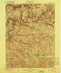
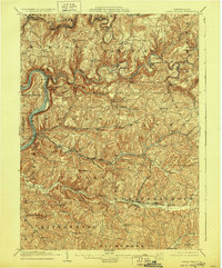
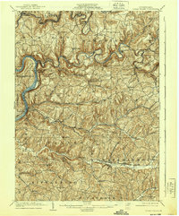
Editions of this 1903 Rural Valley Map
6 editions found
Other maps of this area

1900 · Kittanning
USGS Topo · 1:62,500

1901 · Rural Valley
USGS Topo · 1:62,500

1902 · Kittanning
USGS Topo · 1:62,500

1902 · Indiana
USGS Topo · 1:62,500

1902 · Elders Ridge
USGS Topo · 1:62,500

1903 · Rural Valley
USGS Topo · 1:62,500

1904 · Elders Ridge
USGS Topo · 1:62,500

1906 · Clarion
USGS Topo · 1:62,500

1907 · Clarion
USGS Topo · 1:62,500

1907 · Foxburg
USGS Topo · 1:62,500