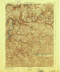
1903 Map of Rural Valley
USGS Topo · Published 1928About this map
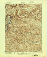
Allegheny River frontage and the deep incisions of the Red Bank Creek and Mahoning Creek define this section of Armstrong County at the dawn of the twentieth century. The landscape is marked by the industrial legacy of iron production, seen at Mahoning Furnace and McCrea Furnace, and the critical transportation corridors of the Pennsylvania R.R. and Pittsburgh and Shawmut R.R. Moving inland from the river, small clusters of settlement such as Rural Valley and Yatesboro serve as focal points for the surrounding townships. The intricate topography, detailed by twenty-foot contours, reveals the steep-sided valleys that dictated the placement of rail lines and early road networks. Genealogists can trace family holdings and small hamlets like Deanville, Goheenville, and Meredith as they existed before mid-century modernization altered the local character.
Find a feature on this map
65 named features on this map. Tap any name to fly to it.
Don’t see what you’re looking for? This feature index may not catch every label — zoom into the map to look around manually.
Map Details
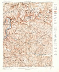
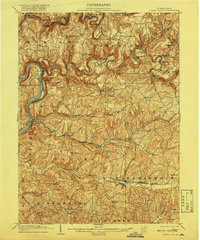
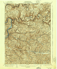
Editions of this 1903 Rural Valley Map
6 editions found
Other maps of this area

1900 · Kittanning
USGS Topo · 1:62,500

1901 · Rural Valley
USGS Topo · 1:62,500

1902 · Kittanning
USGS Topo · 1:62,500

1902 · Indiana
USGS Topo · 1:62,500

1902 · Elders Ridge
USGS Topo · 1:62,500

1903 · Rural Valley
USGS Topo · 1:62,500

1904 · Elders Ridge
USGS Topo · 1:62,500

1906 · Clarion
USGS Topo · 1:62,500

1907 · Clarion
USGS Topo · 1:62,500

1907 · Foxburg
USGS Topo · 1:62,500