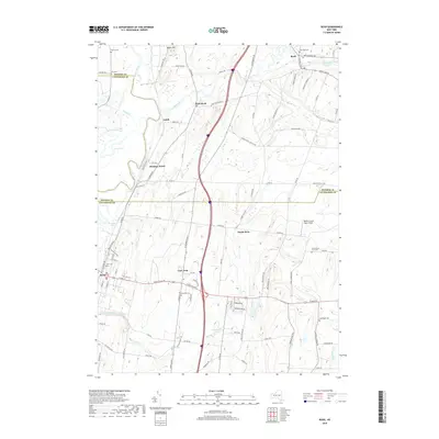
2019 Map of Rush
USGS Topo · Published 2019About this map
Honeoye Creek and the Genesee River define the winding waterways of this Finger Lakes region landscape, where the border of Monroe Co and Livingston Co bisects several historic communities. The settlement of Rush and its smaller counterpart West Rush sit near the northern edge, while the village of Avon occupies the southwestern corner. The map reveals a high density of ancestral burial sites, including the Chet Dalton Farm Cem and Warren Cem, providing valuable touchstones for genealogists tracing local families.
Find a feature on this map
89 named features on this map. Tap any name to fly to it.
Don’t see what you’re looking for? This feature index may not catch every label — zoom into the map to look around manually.
Map Details
Editions of this 2019 Rush Map
This is the sole edition of this map. No revisions or reprints were ever made.
Other maps of this area

1895 · Rochester
USGS Topo · 1:62,500

1898 · Rochester
USGS Topo · 1:62,500

1899 · Brockport
USGS Topo · 1:62,500

1901 · Honeoye
USGS Topo · 1:62,500

1904 · Caledonia
USGS Topo · 1:62,500

1904 · Honeoye
USGS Topo · 1:62,500

1912 · Rochester
USGS Topo · 1:62,500

1920 · Rochester
USGS Topo · 1:62,500

1931 · Mendon Ponds
USGS Topo · 1:24,000

1934 · Rush
USGS Topo · 1:24,000