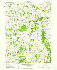
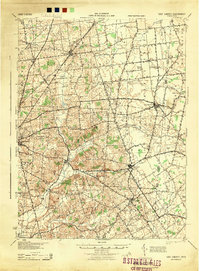
1961 Map of Rushsylvania
USGS Topo · Published 1962About this map
The Greenville Treaty Line cuts diagonally across this central Ohio landscape, serving as a historic boundary marker between Rush Creek and McArthur townships. The village of Rushsylvania serves as the local hub, situated where the New York Central railroad meets the waters of Rush Creek. This survey captures the rural character of the Virginia Military District, where family-named cemeteries such as McKirahen Cem and Fulton Cem are scattered among the headwaters of the South Fork Miami River and the Mad River.
Find a feature on this map
42 named features on this map. Tap any name to fly to it.
Don’t see what you’re looking for? This feature index may not catch every label — zoom into the map to look around manually.
Map Details
Editions of this 1961 Rushsylvania Map
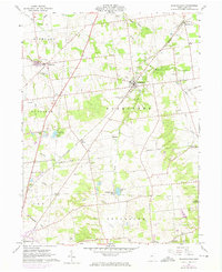
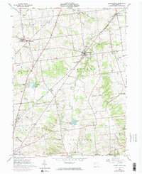
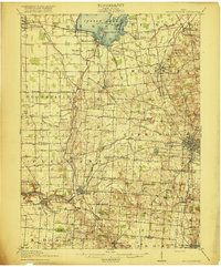
Other maps of this area

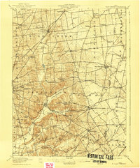
1913 · Alger
USGS Topo · 1:48,000

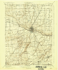
1913 · Bellefontaine
USGS Topo · 1:48,000

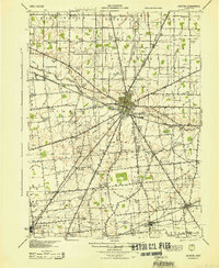
1913 · East Liberty
USGS Topo · 1:62,500

1915 · Alger
USGS Topo · 1:62,500
1915 · Bellefontaine
USGS Topo · 1:62,500
1915 · East Liberty
USGS Topo · 1:62,500
1915 · Kenton
USGS Topo · 1:62,500

1943 · Alger
USGS Topo · 1:62,500
1944 · East Liberty
USGS Topo · 1:62,500
1944 · Kenton
USGS Topo · 1:62,500
Featured Places
- Bellefontaine, OH
- Rushsylvania, Rushcreek Township
- Richland Township, OH
- Rushcreek Township, OH
- Jefferson Township, OH