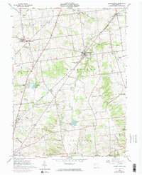
1961 Map of Rushsylvania
USGS Topo · Published 1974About this map
The Greenville Treaty Line bisects this Logan County landscape, a permanent mark of the historical frontier cutting across the township boundaries of Mc Arthur, Rush Creek, and Jefferson. The village of Rushsylvania serves as the central hub, situated along the Penn Central railroad and near the headwaters of Rush Creek. The map documents a rural transition during the early 1960s, showing a network of family-named cemeteries such as McKirahan Cem and Northwood Cem, alongside several small hamlets like Marl City and Big Springs.
Find a feature on this map
46 named features on this map. Tap any name to fly to it.
Don’t see what you’re looking for? This feature index may not catch every label — zoom into the map to look around manually.
Map Details
Editions of this 1961 Rushsylvania Map
Other maps of this area

1913 · Alger
USGS Topo · 1:48,000

1913 · Bellefontaine
USGS Topo · 1:48,000

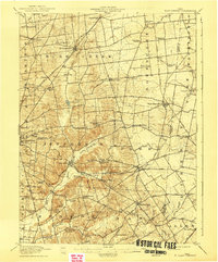
1913 · East Liberty
USGS Topo · 1:62,500

1915 · Alger
USGS Topo · 1:62,500
1915 · Bellefontaine
USGS Topo · 1:62,500
1915 · East Liberty
USGS Topo · 1:62,500
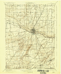
1915 · Kenton
USGS Topo · 1:62,500

1943 · Alger
USGS Topo · 1:62,500
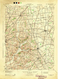
1944 · East Liberty
USGS Topo · 1:62,500
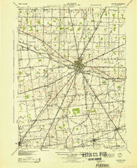
1944 · Kenton
USGS Topo · 1:62,500
Featured Places
- Bellefontaine, OH
- Rushsylvania, Rushcreek Township
- Richland Township, OH
- Rushcreek Township, OH
- Jefferson Township, OH