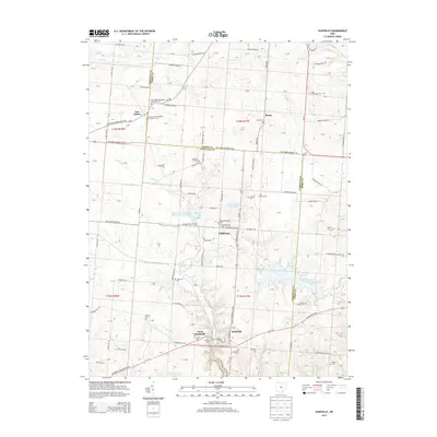
2013 Map of Rushville
USGS Topo · Published 2013About this map
West Rushville and Rushville sit along the historic corridor of US Highway 22, anchoring this 2013 survey of the Fairfield and Perry County borderlands. The landscape is defined by the branching tributaries of Little Rush Creek and Jonathan Creek, which carve through the township grid. This map is particularly valuable for genealogical research, documenting numerous small burial grounds such as the Combs Family Cemetery and the New Salem Methodist Episcopal Cemetery.
Find a feature on this map
81 named features on this map. Tap any name to fly to it.
Don’t see what you’re looking for? This feature index may not catch every label — zoom into the map to look around manually.
Map Details
Editions of this 2013 Rushville Map
This is the sole edition of this map. No revisions or reprints were ever made.
Other maps of this area

1907 · Logan
USGS Topo · 1:62,500

1907 · Lancaster
USGS Topo · 1:62,500

1907 · Thurston
USGS Topo · 1:62,500

1909 · Thornville
USGS Topo · 1:62,500

1909 · Lancaster
USGS Topo · 1:62,500

1909 · Logan
USGS Topo · 1:62,500

1909 · Thurston
USGS Topo · 1:62,500

1947 · Columbus
USGS Topo · 1:250,000

1961 · Columbus
USGS Topo · 1:250,000
1961 · Millersport
USGS Topo · 1:24,000