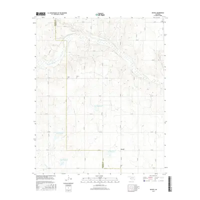
2016 Map of Russell
USGS Topo · Published 2016About this map
The Salt Fork Red River winds across this section of the Oklahoma borderlands, defining a landscape shaped by water management and rural settlement. The settlement of Russell serves as the focal point in the southeast, situated near its namesake Russell Cem. This area of Greer County is characterized by a high concentration of burial sites, including White Flat Cem, Wildcat Cem, and Langford Cem, which provide significant points of interest for genealogists tracing early families in the region. The landscape is heavily modified by the Tri-County Turkey Creek watershed project, featuring several large catchments such as Tri-County Turkey Cr Site 14a Reservoir and Tri-County Turkey Cr Site 15 Reservoir. These reservoirs, along with Turkey Cr and Cave Cr, illustrate the modern hydraulic engineering required to manage the drainage basins feeding into the Red River system.
Find a feature on this map
33 named features on this map. Tap any name to fly to it.
Don’t see what you’re looking for? This feature index may not catch every label — zoom into the map to look around manually.
Map Details
Editions of this 2016 Russell Map
This is the sole edition of this map. No revisions or reprints were ever made.
Other maps of this area

1955 · Lawton
USGS Topo · 1:250,000
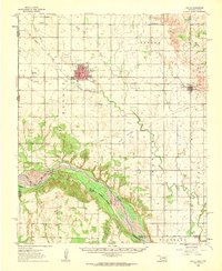
1961 · Hollis
USGS Topo · 1:62,500
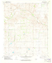
1971 · Russell
USGS Topo · 1:24,000
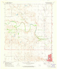
1971 · Mangum North
USGS Topo · 1:24,000
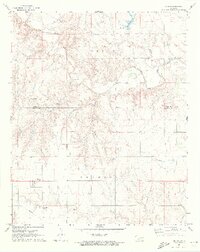
1971 · Vinson
USGS Topo · 1:24,000
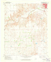
1971 · Mangum South
USGS Topo · 1:24,000
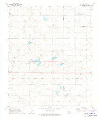
1971 · Mc Queen
USGS Topo · 1:24,000
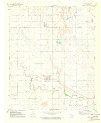
1971 · Duke
USGS Topo · 1:24,000
1971 · Reed
USGS Topo · 1:24,000
1971 · Shrewder
USGS Topo · 1:24,000