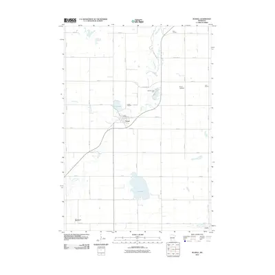
2010 Map of Russell
USGS Topo · Published 2010About this map
Russell serves as the primary hub of this Lyon County landscape, situated where Coon Creek meets the meandering path of the Redwood River. The town's grid is anchored by the Russell Post Office and the nearby Russell Cemetery, reflecting the enduring settlement patterns of southwestern Minnesota. To the south, the rail-oriented hamlet of Burchard sits along the southern edge of the quadrangle, while the broader geography is defined by a series of water bodies and former lake basins, including the notable Brush Lakebed and Rock Lake.
Find a feature on this map
29 named features on this map. Tap any name to fly to it.
Don’t see what you’re looking for? This feature index may not catch every label — zoom into the map to look around manually.
Map Details
Editions of this 2010 Russell Map
This is the sole edition of this map. No revisions or reprints were ever made.
Other maps of this area

1953 · Watertown
USGS Topo · 1:250,000

1953 · New Ulm
USGS Topo · 1:250,000

1957 · New Ulm
USGS Topo · 1:250,000

1958 · New Ulm
USGS Topo · 1:250,000

1958 · Watertown
USGS Topo · 1:250,000

1963 · Dead Coon Lake
USGS Topo · 1:24,000

1963 · Gislason Lake
USGS Topo · 1:24,000

1963 · Russell
USGS Topo · 1:24,000

1963 · Lynd
USGS Topo · 1:24,000

1963 · Marshall SE
USGS Topo · 1:24,000