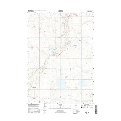
2016 Map of Russell
USGS Topo · Published 2016About this map
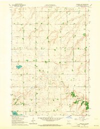
Russell sits at a geographic crossroads in Lyon County, where the Redwood River cuts through the prominent elevations of the Coteau des Prairies. This plateau region, known for its distinct glacial topography, dominates the landscape with its network of wetlands and small basins. The town itself is centered near the junction of Co HWY 31 and Co HWY 2, serving as a local hub amidst a grid of section-line roads. To the north, the map reveals the dry depression of Brush Lakebed, while permanent water bodies like Rock Lake and Clear Lake dot the southern and western reaches. In the southern margin, the tiny settlement of Burchard and the winding Cottonwood River mark the transition toward the county line. The placement of several burial sites, including Lynd Cem and Russell Cem, provides valuable location data for genealogists tracing families in this agricultural prairie landscape.
Find a feature on this map
48 named features on this map. Tap any name to fly to it.
Don’t see what you’re looking for? This feature index may not catch every label — zoom into the map to look around manually.
Map Details
Editions of this 2016 Russell Map
This is the sole edition of this map. No revisions or reprints were ever made.
Other maps of this area

1953 · Watertown
USGS Topo · 1:250,000
1953 · New Ulm
USGS Topo · 1:250,000
1957 · New Ulm
USGS Topo · 1:250,000
1958 · New Ulm
USGS Topo · 1:250,000

1958 · Watertown
USGS Topo · 1:250,000
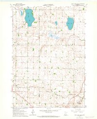
1963 · Dead Coon Lake
USGS Topo · 1:24,000
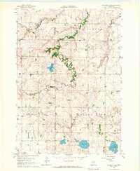
1963 · Gislason Lake
USGS Topo · 1:24,000
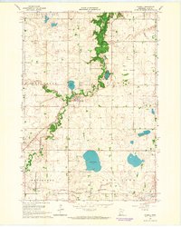
1963 · Russell
USGS Topo · 1:24,000
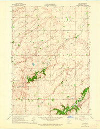
1963 · Lynd
USGS Topo · 1:24,000
1963 · Marshall SE
USGS Topo · 1:24,000