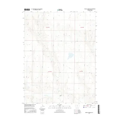
2015 Map of Russell Springs NE
USGS Topo · Published 2015About this map
The Smoky Hill River winds through the southern reaches of this Logan County landscape, joined by the drainage of Sixmile Cr. This area of the High Plains is defined by its agricultural grid, where county roads follow township and range lines across the flat terrain. Several named routes like Seneca, Rawhide, and Topeka intersect the section lines, suggesting a legacy of named local thoroughfares that predate modern numbering.
Find a feature on this map
17 named features on this map. Tap any name to fly to it.
Don’t see what you’re looking for? This feature index may not catch every label — zoom into the map to look around manually.
Map Details
Editions of this 2015 Russell Springs NE Map
This is the sole edition of this map. No revisions or reprints were ever made.
Other maps of this area

1954 · Goodland
USGS Topo · 1:250,000

1955 · Scott City
USGS Topo · 1:250,000

1956 · Goodland
USGS Topo · 1:250,000

1957 · Goodland
USGS Topo · 1:250,000

1958 · Scott City
USGS Topo · 1:250,000
1972 · Russell Springs
USGS Topo · 1:24,000
1972 · Monument
USGS Topo · 1:24,000
1972 · Winona
USGS Topo · 1:24,000
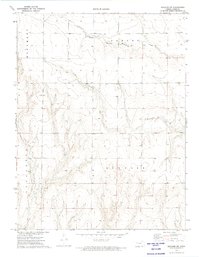
1972 · Elkader NW
USGS Topo · 1:24,000
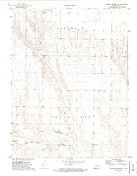
1972 · Russell Springs NE
USGS Topo · 1:24,000