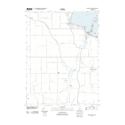
2010 Map of Russells Point
USGS Topo · Published 2010About this map
The Great Miami River flows south from the Indian Lake Dam, anchoring a landscape defined by the intricate shoreline of Lucys Pond and a dense cluster of islands near Russells Point. This 2010 survey illustrates the transition from the lakeside recreation hubs of Lakeview and Crystal Beach to the surrounding agricultural plains of Logan County. Significant infrastructure for the local economy is visible, including the McColly Bridge and the Lewistown Post Office.
Find a feature on this map
75 named features on this map. Tap any name to fly to it.
Don’t see what you’re looking for? This feature index may not catch every label — zoom into the map to look around manually.
Map Details
Editions of this 2010 Russells Point Map
This is the sole edition of this map. No revisions or reprints were ever made.
Other maps of this area

1906 · Lima
USGS Topo · 1:62,500

1913 · Alger
USGS Topo · 1:48,000

1913 · Bellefontaine
USGS Topo · 1:48,000

1913 · Sidney
USGS Topo · 1:62,500

1915 · Alger
USGS Topo · 1:62,500

1915 · Bellefontaine
USGS Topo · 1:62,500

1943 · Alger
USGS Topo · 1:62,500

1944 · Sidney
USGS Topo · 1:62,500

1944 · Bellefontaine
USGS Topo · 1:62,500

1950 · Marion
USGS Topo · 1:250,000