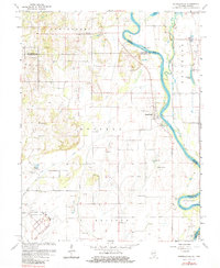
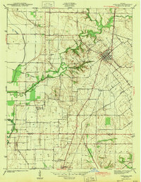
1964 Map of Russellville
USGS Topo · Published 1984About this map
The Wabash River forms a winding border between Illinois and Indiana, framing a landscape defined by low-lying floodplains and upland cemeteries. In the mid-1960s, the community of Russellville sits perched on the western bank, surrounded by agricultural land and numerous gravel operations. The density of burial grounds, including Tévealt Cem, Price Cem, and Norton Cem, provides a detailed record of the families who settled this fertile river valley.
Find a feature on this map
40 named features on this map. Tap any name to fly to it.
Don’t see what you’re looking for? This feature index may not catch every label — zoom into the map to look around manually.
Map Details
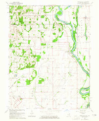
Editions of this 1964 Russellville Map
2 editions found
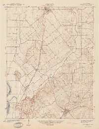
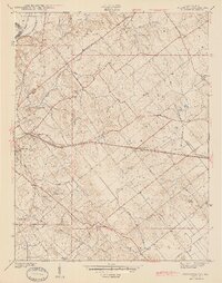
Other maps of this area

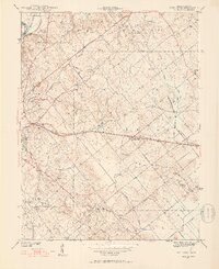
1915 · Vincennes
USGS Topo · 1:62,500
1917 · Birds
USGS Topo · 1:62,500
1942 · Fritchton
USGS Topo · 1:24,000

1942 · Birds
USGS Topo · 1:62,500
1943 · Carlisle
USGS Topo · 1:24,000
1943 · Oaktown
USGS Topo · 1:24,000
1944 · Fritchton
USGS Topo · 1:24,000

1944 · Vincennes
USGS Topo · 1:62,500

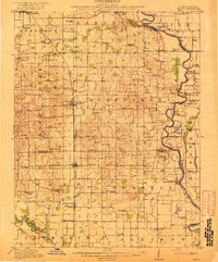
1956 · Vincennes
USGS Topo · 1:250,000

1957 · Vincennes
USGS Topo · 1:250,000