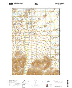
2019 Map of Russian Mission B-2 SE
USGS Topo · Published 2019About this map
Discovery Creek and Swift Creek wind through this part of the Bethel Census Area, illustrating the complex drainage patterns of the western Alaskan interior. The landscape is defined by extensive wetlands and a network of small ponds that dominate the northern and central portions of the sheet. In the southern reach of the quadrangle, the terrain transitions into more pronounced elevations, with contour lines indicating a series of rounded hills that rise above the surrounding marshland. This 2019 survey documents the intricate hydrography of the region before these remote watercourses merge with larger river systems, providing a clear record of the natural boundaries within the Public Land Survey System townships of T14N R57W and T15N R57W.
Find a feature on this map
8 named features on this map. Tap any name to fly to it.
Don’t see what you’re looking for? This feature index may not catch every label — zoom into the map to look around manually.
Map Details
Editions of this 2019 Russian Mission B-2 SE Map
This is the sole edition of this map. No revisions or reprints were ever made.
Other maps of this area

1947 · Russian Mission
USGS Topo · 1:250,000

1950 · Russian Mission
USGS Topo · 1:250,000

1952 · Russian Mission B-2
USGS Topo · 1:63,360
1952 · Russian Mission B-1
USGS Topo · 1:63,360
1979 · Russian Mission A-1
USGS Topo · 1:63,360

1979 · Russian Mission A-2
USGS Topo · 1:63,360

1980 · Russian Mission
USGS Topo · 1:250,000
2019 · Russian Mission B-1 SW
USGS Topo · 1:25,000
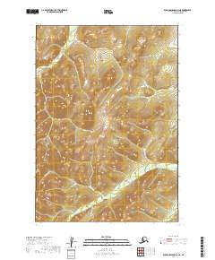
2019 · Russian Mission A-2 NE
USGS Topo · 1:25,000
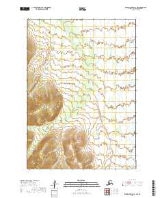
2019 · Russian Mission A-1 NW
USGS Topo · 1:25,000