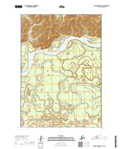
2019 Map of Russian Mission C-2 SW
USGS Topo · Published 2019About this map
The Kuskokwim River dominates this landscape in the Bethel Census Area, winding through a complex network of wetlands and lateral waterways. The intricate hydrology of Aniak Slough meanders across the central and southern sections, illustrating the shifting alluvial patterns common to this riverine environment. While much of the terrain is defined by these water bodies, subtle human infrastructure appears in the northeast, where Gravel Pit Road and Airport Blvd provide access points near the riverbanks. The southern reach of the map is punctuated by smaller drainages including Discovery Cr and Swift Cr, which feed into the broader marshland system. This survey provides a precise look at the seasonal water paths and township boundaries, such as t17n r57w, essential for understanding land use and navigation in this part of Alaska.
Find a feature on this map
12 named features on this map. Tap any name to fly to it.
Don’t see what you’re looking for? This feature index may not catch every label — zoom into the map to look around manually.
Map Details
Editions of this 2019 Russian Mission C-2 SW Map
This is the sole edition of this map. No revisions or reprints were ever made.
Other maps of this area

1947 · Russian Mission
USGS Topo · 1:250,000

1950 · Russian Mission
USGS Topo · 1:250,000

1952 · Russian Mission C-3
USGS Topo · 1:63,360

1952 · Russian Mission C-2
USGS Topo · 1:63,360

1952 · Russian Mission B-2
USGS Topo · 1:63,360

1952 · Russian Mission B-3
USGS Topo · 1:63,360

1980 · Russian Mission
USGS Topo · 1:250,000
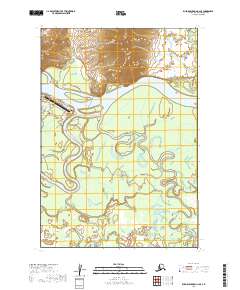
2019 · Russian Mission C-2 SE
USGS Topo · 1:25,000
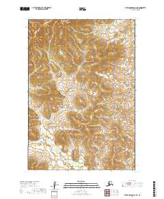
2019 · Russian Mission C-3 NE
USGS Topo · 1:25,000
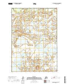
2019 · Russian Mission B-3 NE
USGS Topo · 1:25,000