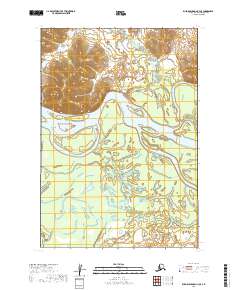
2019 Map of Russian Mission C-3 SE
USGS Topo · Published 2019About this map
The Kuskokwim River dominates this landscape in the Bethel Census Area, winding through a vast system of wetlands and shifting channels. This 2019 survey captures the river's path as it meanders through the low-lying terrain, creating a complex network of sloughs and alluvial features. To the south, the waters of Discovery Creek (also labeled as Discovery Cr) flow through the marshy interior, illustrating the hydraulic character of this part of the Yukon-Kuskokwim Delta. The absence of roads or permanent settlements in this specific quadrant highlights the seasonal and water-dependent nature of travel and land use in this remote Alaskan region. The map provides a detailed record of the topographic contours and hydrographic data essential for navigating these unpredictable waterways.
Find a feature on this map
9 named features on this map. Tap any name to fly to it.
Don’t see what you’re looking for? This feature index may not catch every label — zoom into the map to look around manually.
Map Details
Editions of this 2019 Russian Mission C-3 SE Map
This is the sole edition of this map. No revisions or reprints were ever made.
Other maps of this area

1947 · Russian Mission
USGS Topo · 1:250,000

1950 · Russian Mission
USGS Topo · 1:250,000

1952 · Russian Mission C-3
USGS Topo · 1:63,360

1952 · Russian Mission C-2
USGS Topo · 1:63,360

1952 · Russian Mission B-2
USGS Topo · 1:63,360

1952 · Russian Mission B-3
USGS Topo · 1:63,360

1980 · Russian Mission
USGS Topo · 1:250,000
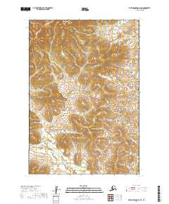
2019 · Russian Mission C-3 NE
USGS Topo · 1:25,000
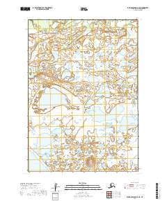
2019 · Russian Mission B-3 NE
USGS Topo · 1:25,000
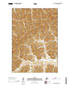
2019 · Russian Mission C-3 NW
USGS Topo · 1:25,000