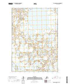
2017 Map of Russian Mission C-5 SW
USGS Topo · Published 2017About this map
Johnson River meanders across this vast wetland landscape in the Bethel Census Area, defining a terrain dominated by an intricate network of lakes and ponds. This 2017 survey reveals the shifting hydrography of the Alaskan interior, where the river braids and loops through low-lying alluvial plains. The map provides precise public land survey system data, outlining township and range divisions such as t17n r64w and t18n r63w which serve as essential coordinates for identifying specific parcels within this roadless wilderness. The lack of named settlements or man-made infrastructure emphasizes the dynamic nature of the river system and its role in shaping the surrounding environment.
Find a feature on this map
7 named features on this map. Tap any name to fly to it.
Don’t see what you’re looking for? This feature index may not catch every label — zoom into the map to look around manually.
Map Details
Editions of this 2017 Russian Mission C-5 SW Map
This is the sole edition of this map. No revisions or reprints were ever made.
Other maps of this area

1947 · Russian Mission
USGS Topo · 1:250,000

1950 · Russian Mission
USGS Topo · 1:250,000

1952 · Russian Mission C-5
USGS Topo · 1:63,360
1952 · Russian Mission B-6
USGS Topo · 1:63,360
1952 · Russian Mission C-6
USGS Topo · 1:63,360

1954 · Russian Mission B-5
USGS Topo · 1:63,360

1980 · Russian Mission
USGS Topo · 1:250,000
2017 · Russian Mission B-6 NE
USGS Topo · 1:25,000
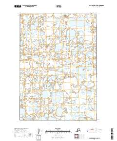
2017 · Russian Mission C-6 SE
USGS Topo · 1:25,000
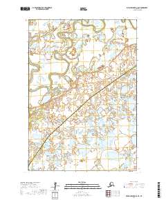
2017 · Russian Mission C-6 NE
USGS Topo · 1:25,000