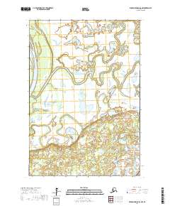
2017 Map of Russian Mission C-6 NW
USGS Topo · Published 2017About this map
The Talbiksok River winds through this section of the Unorganized Borough, defining a landscape of complex hydrography and seasonal wetlands. Its meandering course across the northern half of the map is mirrored by the Portage Slough to the west, illustrating the intricate drainage patterns of the Alaskan tundra. The 2017 survey shows a region largely devoid of permanent human structures, instead highlighting the vast network of small lakes and shifting watercourses typical of the Yukon-Kuskokwim Delta region. The lack of roads or established settlements emphasizes the seasonal and water-dependent nature of travel and subsistence in this part of the state, where the river systems remain the primary geographic landmarks.
Find a feature on this map
6 named features on this map. Tap any name to fly to it.
Don’t see what you’re looking for? This feature index may not catch every label — zoom into the map to look around manually.
Map Details
Editions of this 2017 Russian Mission C-6 NW Map
This is the sole edition of this map. No revisions or reprints were ever made.
Other maps of this area

1947 · Russian Mission
USGS Topo · 1:250,000

1950 · Russian Mission
USGS Topo · 1:250,000
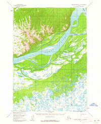
1952 · Russian Mission C-7
USGS Topo · 1:63,360
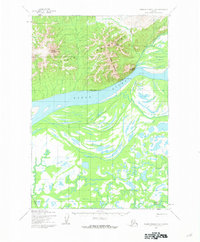
1952 · Russian Mission D-6
USGS Topo · 1:63,360
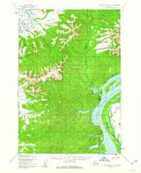
1952 · Russian Mission D-7
USGS Topo · 1:63,360
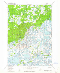
1952 · Russian Mission C-6
USGS Topo · 1:63,360

1980 · Russian Mission
USGS Topo · 1:250,000
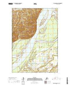
2017 · Russian Mission C-7 NE
USGS Topo · 1:25,000
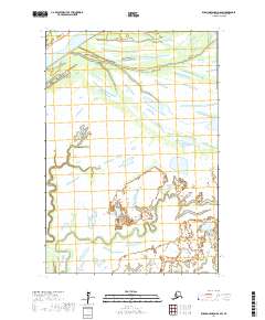
2017 · Russian Mission D-6 SW
USGS Topo · 1:25,000
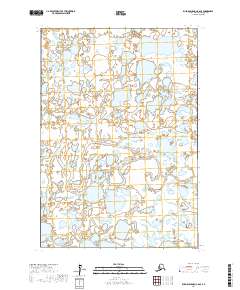
2017 · Russian Mission C-6 SE
USGS Topo · 1:25,000