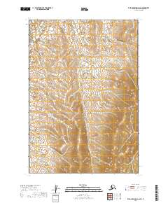
2019 Map of Russian Mission D-2 SE
USGS Topo · Published 2019About this map
Township lines and section boundaries define this interior portion of the Russian Mission D-2 SE quadrangle, captured by the U.S. Geological Survey using imagery from 2010 to 2012. The landscape is characterized by its hydrological complexity, with numerous small lakes and wetlands scattered across the northern sections, particularly within T21n R56w and T21n R55w. Unlike more developed coastal or riverine areas, this map reveals a vast, roadless expanse where the Public Land Survey System provides the primary framework for orientation. The shift from low-lying wetland basins to more pronounced topographic relief is evident as the survey moves south through T20n R56w, offering a clear look at the drainage patterns that feed into the larger Bethel Census Area watersheds before recent environmental shifts.
Find a feature on this map
6 named features on this map. Tap any name to fly to it.
Don’t see what you’re looking for? This feature index may not catch every label — zoom into the map to look around manually.
Map Details
Editions of this 2019 Russian Mission D-2 SE Map
This is the sole edition of this map. No revisions or reprints were ever made.
Other maps of this area

1947 · Russian Mission
USGS Topo · 1:250,000

1950 · Russian Mission
USGS Topo · 1:250,000

1952 · Russian Mission D-2
USGS Topo · 1:63,360

1952 · Russian Mission C-1
USGS Topo · 1:63,360

1952 · Russian Mission D-1
USGS Topo · 1:63,360

1952 · Russian Mission C-2
USGS Topo · 1:63,360

1980 · Russian Mission
USGS Topo · 1:250,000
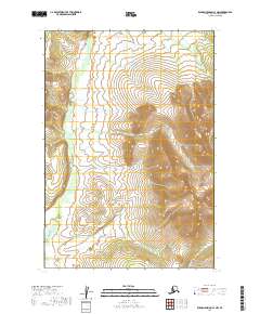
2019 · Russian Mission C-1 NW
USGS Topo · 1:25,000
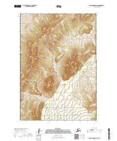
2019 · Russian Mission D-1 SW
USGS Topo · 1:25,000
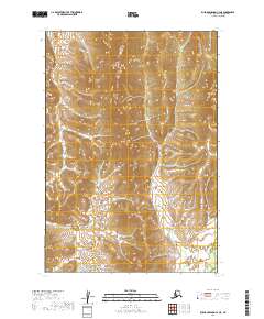
2019 · Russian Mission C-2 NE
USGS Topo · 1:25,000