
1952 Map of Russian Mission D-1
USGS Topo · Published 1960About this map
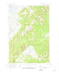
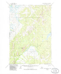
Aniak River serpentines through the southwestern corner of this landscape, its path defined by the sharp elevations of Molybdenum Mountain. This 1952 survey, published by the Geological Survey, documents a remote Alaskan interior defined more by its drainage patterns and terrain than by permanent settlement. The presence of a prominent Winter Trail stretching across the tundra and through the river valley highlights the seasonal nature of travel and access in this region. Along the eastern edge of the high ground, Cobalt Creek drains toward the lower wetlands, illustrating the transition from the upland peaks to the marshy flats characteristic of the Kuskokwim River drainage system.
Find a feature on this map
4 named features on this map. Tap any name to fly to it.
Don’t see what you’re looking for? This feature index may not catch every label — zoom into the map to look around manually.
Map Details
Editions of this 1952 Russian Mission D-1 Map
3 editions found
Other maps of this area

1947 · Russian Mission
USGS Topo · 1:250,000

1950 · Russian Mission
USGS Topo · 1:250,000

1950 · Sleetmute
USGS Topo · 1:250,000

1951 · Holy Cross
USGS Topo · 1:250,000

1951 · Iditarod
USGS Topo · 1:250,000

1952 · Holy Cross A-1
USGS Topo · 1:63,360

1952 · Russian Mission D-2
USGS Topo · 1:63,360

1952 · Russian Mission C-1
USGS Topo · 1:63,360

1952 · Holy Cross
USGS Topo · 1:250,000

1952 · Russian Mission C-2
USGS Topo · 1:63,360