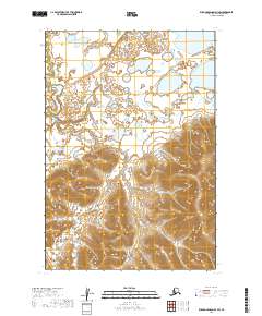
2019 Map of Russian Mission D-3 SW
USGS Topo · Published 2019About this map
The Bethel Census Area in western Alaska is defined by a striking transition between low-lying wetlands and complex upland terrain. The northern half of this survey, encompassing T21n R59w and T21n R58w, is dominated by an intricate network of small lakes and ponds, indicating a poorly drained tundra landscape typical of the region. As the topography moves south into T20n R59w and T19n R59w, the map reveals a significant shift toward higher elevations. Here, tight contour intervals illustrate a series of ridges and valleys that provide a sharp contrast to the water-saturated flats to the north. While this specific quadrangle lacks named settlements or developed roads, the precise documentation of the Public Land Survey System boundaries, such as T20n R60w and T19n R60w, provides essential data for understanding land divisions and geographical features in this part of the Alaskan interior.
Find a feature on this map
6 named features on this map. Tap any name to fly to it.
Don’t see what you’re looking for? This feature index may not catch every label — zoom into the map to look around manually.
Map Details
Editions of this 2019 Russian Mission D-3 SW Map
This is the sole edition of this map. No revisions or reprints were ever made.
Other maps of this area

1947 · Russian Mission
USGS Topo · 1:250,000

1950 · Russian Mission
USGS Topo · 1:250,000

1952 · Russian Mission D-3
USGS Topo · 1:63,360

1952 · Russian Mission C-3
USGS Topo · 1:63,360

1952 · Russian Mission D-4
USGS Topo · 1:63,360

1954 · Russian Mission C-4
USGS Topo · 1:63,360

1980 · Russian Mission
USGS Topo · 1:250,000
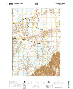
2017 · Russian Mission D-4 SE
USGS Topo · 1:25,000
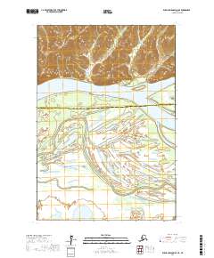
2017 · Russian Mission D-4 NE
USGS Topo · 1:25,000
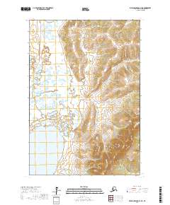
2017 · Russian Mission C-4 NE
USGS Topo · 1:25,000