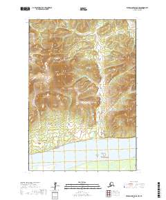
2017 Map of Russian Mission D-6 NW
USGS Topo · Published 2017About this map
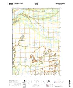
Mt Chiniklik and the surrounding Ilivit Mountains dominate this remote Alaskan landscape, marking a transition from high elevation terrain to the broad river valley below. This 2017 survey by the U.S. Geological Survey documents the southern portion of the quadrangle as it meets the massive Yukon River. The topography reveals the intricate drainage patterns flowing off the peaks toward the river's edge, highlighting the natural geography of the Kusilvak Census Area before any major modern development or infrastructure. The map provides a precise look at the township and range lines across T22N and T21N, documenting the land divisions in this part of the Alaskan wilderness.
Find a feature on this map
7 named features on this map. Tap any name to fly to it.
Don’t see what you’re looking for? This feature index may not catch every label — zoom into the map to look around manually.
Map Details
Editions of this 2017 Russian Mission D-6 NW Map
This is the sole edition of this map. No revisions or reprints were ever made.
Other maps of this area

1947 · Russian Mission
USGS Topo · 1:250,000

1950 · Russian Mission
USGS Topo · 1:250,000

1951 · Holy Cross
USGS Topo · 1:250,000

1951 · Holy Cross A-5
USGS Topo · 1:63,360

1952 · Holy Cross
USGS Topo · 1:250,000
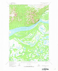
1952 · Russian Mission D-6
USGS Topo · 1:63,360
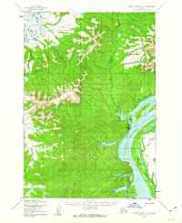
1952 · Russian Mission D-7
USGS Topo · 1:63,360
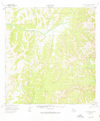
1952 · Holy Cross A-5
USGS Topo · 1:63,360

1980 · Russian Mission
USGS Topo · 1:250,000
2017 · Russian Mission D-6 SW
USGS Topo · 1:25,000