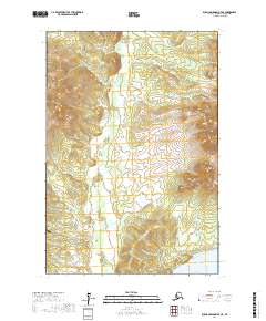
2017 Map of Russian Mission D-7 NE
USGS Topo · Published 2017About this map
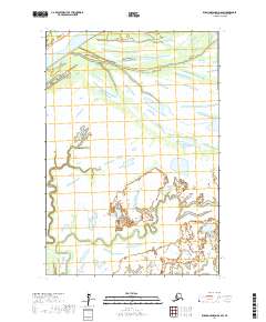
The Yukon River cuts through the southeastern corner of this region, serving as the primary drainage for the surrounding terrain. Much of the landscape is dominated by the Ilivit Mountains, where elevations rise sharply from the river valley. The hydrology is defined by the winding course of Kako Cr, which snakes through the central valleys before reaching the lowlands. This area in the Kusilvak Census Area is notably remote, with Kako Airport providing a critical connection point in a territory otherwise devoid of road infrastructure. The map documents the vast wilderness of western Alaska, illustrating the intersection of high peaks and the river systems that have historically dictated movement and settlement patterns in the bush.
Find a feature on this map
8 named features on this map. Tap any name to fly to it.
Don’t see what you’re looking for? This feature index may not catch every label — zoom into the map to look around manually.
Map Details
Editions of this 2017 Russian Mission D-7 NE Map
This is the sole edition of this map. No revisions or reprints were ever made.
Other maps of this area

1947 · Russian Mission
USGS Topo · 1:250,000

1950 · Russian Mission
USGS Topo · 1:250,000

1951 · Holy Cross
USGS Topo · 1:250,000

1951 · Holy Cross A-5
USGS Topo · 1:63,360

1952 · Holy Cross
USGS Topo · 1:250,000
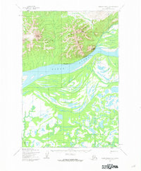
1952 · Russian Mission D-6
USGS Topo · 1:63,360
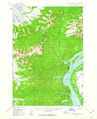
1952 · Russian Mission D-7
USGS Topo · 1:63,360
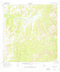
1952 · Holy Cross A-5
USGS Topo · 1:63,360

1980 · Russian Mission
USGS Topo · 1:250,000
2017 · Russian Mission D-6 SW
USGS Topo · 1:25,000