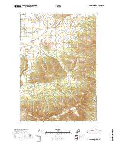
2017 Map of Russian Mission D-7 NW
USGS Topo · Published 2017About this map
Kuyukutuk River and its primary tributary, the E Fork Kuyukutuk River, dominate this landscape within the Kusilvak Census Area. This 2017 survey details a remote stretch of the Alaskan interior where the winding river systems define the geography of the lower Yukon region. The most significant point of infrastructure is Kakō Airport, located in the southeastern portion of the map. The terrain is characterized by intricate elevation contours that rise away from the river valleys, providing a clear picture of the drainages and land divisions within t22n r67w and t21n r67w. This cartographic record is essential for understanding the modern physical layout of this roadless region, where aviation and waterways remain the primary means of navigation.
Find a feature on this map
7 named features on this map. Tap any name to fly to it.
Don’t see what you’re looking for? This feature index may not catch every label — zoom into the map to look around manually.
Map Details
Editions of this 2017 Russian Mission D-7 NW Map
This is the sole edition of this map. No revisions or reprints were ever made.
Other maps of this area

1947 · Russian Mission
USGS Topo · 1:250,000

1950 · Russian Mission
USGS Topo · 1:250,000

1951 · Holy Cross
USGS Topo · 1:250,000

1951 · Holy Cross A-5
USGS Topo · 1:63,360

1952 · Holy Cross A-6
USGS Topo · 1:63,360

1952 · Holy Cross
USGS Topo · 1:250,000
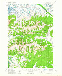
1952 · Russian Mission D-8
USGS Topo · 1:63,360
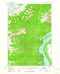
1952 · Russian Mission D-7
USGS Topo · 1:63,360
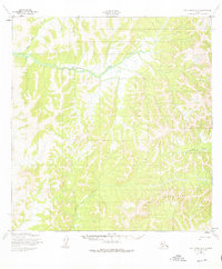
1952 · Holy Cross A-5
USGS Topo · 1:63,360

1980 · Russian Mission
USGS Topo · 1:250,000