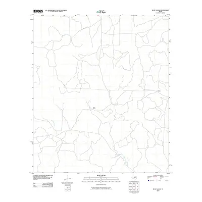
2010 Map of Rust Ranch
USGS Topo · Published 2010About this map
Rust Ranch and Spiller Ranch define the settlement pattern of this Kimble County landscape, where large family-named holdings are connected by a network of ranch roads. The drainage systems of West Las Moras Creek, Bear Creek, and West Bear Creek carve through the terrain, dictating the placement of the area's thoroughfares. Local travel is facilitated by Williamson Rd, Hardeman Rd, and Ellis Rd, which weave between property boundaries and watercourses. This 2010 survey reflects the enduring character of Texas hill country ranching, capturing a moment when these traditional land use patterns remained dominant and the rural infrastructure was tied closely to natural hydrology and family estates.
Find a feature on this map
8 named features on this map. Tap any name to fly to it.
Don’t see what you’re looking for? This feature index may not catch every label — zoom into the map to look around manually.
Map Details
Editions of this 2010 Rust Ranch Map
This is the sole edition of this map. No revisions or reprints were ever made.
Other maps of this area

1893 · Fort McKavett
USGS Topo · 1:125,000

1954 · Llano
USGS Topo · 1:250,000

1954 · Sonora
USGS Topo · 1:250,000

1955 · Llano
USGS Topo · 1:250,000

1956 · Llano
USGS Topo · 1:250,000

1958 · Sonora
USGS Topo · 1:250,000

1963 · McKegan Draw
USGS Topo · 1:24,000

1963 · McKegan Draw NE
USGS Topo · 1:24,000

1970 · San Augustine Draw
USGS Topo · 1:24,000

1970 · Julio Draw
USGS Topo · 1:24,000