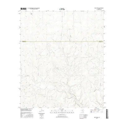
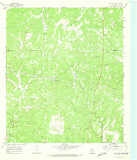
2016 Map of Rust Ranch
USGS Topo · Published 2016About this map
Rust Ranch sits at the heart of this Central Texas landscape, where the boundary between Menard and Kimble counties divides a terrain defined by limestone draws and seasonal watercourses. The drainage patterns of W Bear Cr and W Las Moras Cr dictate the local geography, carving deep into the plateau and directing the placement of early ranching infrastructure. These creek beds and draws, such as Sheen Draw, provided the essential water sources that originally dictated land use in this semi-arid region.
Find a feature on this map
15 named features on this map. Tap any name to fly to it.
Don’t see what you’re looking for? This feature index may not catch every label — zoom into the map to look around manually.
Map Details
Editions of this 2016 Rust Ranch Map
This is the sole edition of this map. No revisions or reprints were ever made.
Other maps of this area
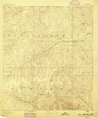
1893 · Fort McKavett
USGS Topo · 1:125,000
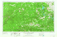
1954 · Llano
USGS Topo · 1:250,000

1954 · Sonora
USGS Topo · 1:250,000
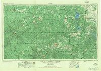
1955 · Llano
USGS Topo · 1:250,000
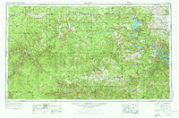
1956 · Llano
USGS Topo · 1:250,000

1958 · Sonora
USGS Topo · 1:250,000
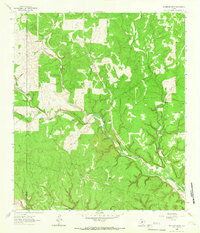
1963 · McKegan Draw
USGS Topo · 1:24,000
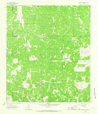
1963 · McKegan Draw NE
USGS Topo · 1:24,000
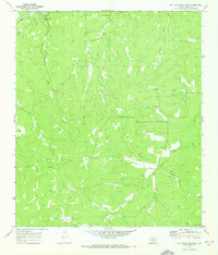
1970 · San Augustine Draw
USGS Topo · 1:24,000
1970 · Julio Draw
USGS Topo · 1:24,000