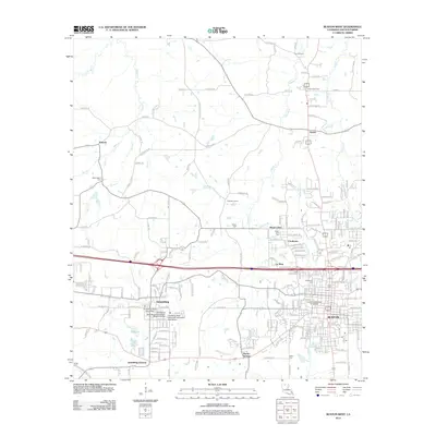
2012 Map of Ruston West
USGS Topo · Published 2012About this map
Grambling State University and Louisiana Technical University anchor this portion of Lincoln Parish, illustrating the significant academic footprint in the region. The landscape transitions from the urbanized centers of Grambling and western Ruston to the rural north, where historical communities like Vienna and Antioch remain connected by old thoroughfares such as Old Wire Rd. The northern reaches are characterized by the Ruston Gas Field and a network of creeks including Cypress Cr and Chautauqua Cr. For family historians, numerous burial grounds are documented, including McGloughlin Cem and Wilder Cem, alongside smaller residential developments like Cooktown and La Mesa. The presence of specialized institutions such as the Grambling State University Laboratory High School reflects the area's long-standing focus on education and community development.
Find a feature on this map
214 named features on this map. Tap any name to fly to it.
Don’t see what you’re looking for? This feature index may not catch every label — zoom into the map to look around manually.
Map Details
Editions of this 2012 Ruston West Map
This is the sole edition of this map. No revisions or reprints were ever made.
Other maps of this area

1947 · Bienville
USGS Topo · 1:62,500

1949 · Bienville
USGS Topo · 1:62,500

1950 · Ruston
USGS Topo · 1:62,500

1950 · Arcadia
USGS Topo · 1:62,500

1951 · Arcadia
USGS Topo · 1:62,500

1951 · Ruston
USGS Topo · 1:62,500

1953 · Hodge
USGS Topo · 1:62,500

1955 · Shreveport
USGS Topo · 1:250,000

1956 · Shreveport
USGS Topo · 1:250,000

1984 · Shreveport
USGS Topo · 1:250,000