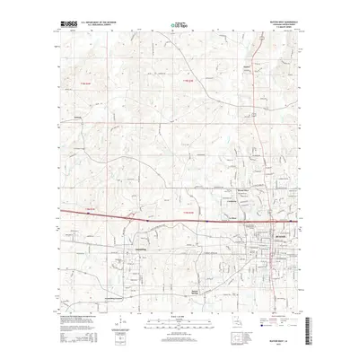
2015 Map of Ruston West
USGS Topo · Published 2015About this map
Grambling State University and Louisiana Tech University define the cultural and educational landscape of this Lincoln Parish region. The western outskirts of Ruston reveal a transition from academic campuses to outlying communities like Cooktown and La Mesa. This 2015 survey details the residential growth spreading from the university centers into the surrounding hills, where smaller settlements such as Barnet Springs and Grambling Corners maintain their own distinct identities.
Find a feature on this map
189 named features on this map. Tap any name to fly to it.
Don’t see what you’re looking for? This feature index may not catch every label — zoom into the map to look around manually.
Map Details
Editions of this 2015 Ruston West Map
This is the sole edition of this map. No revisions or reprints were ever made.
Other maps of this area

1947 · Bienville
USGS Topo · 1:62,500

1949 · Bienville
USGS Topo · 1:62,500

1950 · Ruston
USGS Topo · 1:62,500

1950 · Arcadia
USGS Topo · 1:62,500

1951 · Arcadia
USGS Topo · 1:62,500

1951 · Ruston
USGS Topo · 1:62,500

1953 · Hodge
USGS Topo · 1:62,500

1955 · Shreveport
USGS Topo · 1:250,000

1956 · Shreveport
USGS Topo · 1:250,000

1984 · Shreveport
USGS Topo · 1:250,000