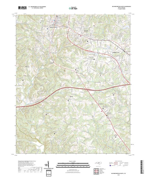
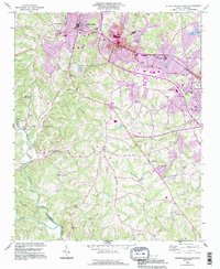
2022 Map of Rutherfordton South
USGS Topo · Published 2022About this map
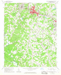
The Rutherford County Courthouse serves as a central anchor for this part of the Foothills, where the historic street grids of Rutherfordton, Spindale, and Forest City form a nearly continuous corridor of development. This modern survey reveals a landscape where old crossroads and church-centered communities like Shiloh, Danieltown, and Frog Level persist alongside contemporary institutions such as Isothermal Community College. The terrain is deeply etched by a network of waterways including Stonecutter Cr, Richardson Cr, and the Broad River, which defines the southwestern boundary near the Rutherford Co and Polk Co line.
Find a feature on this map
49 named features on this map. Tap any name to fly to it.
Don’t see what you’re looking for? This feature index may not catch every label — zoom into the map to look around manually.
Map Details
Editions of this 2022 Rutherfordton South Map
This is the sole edition of this map. No revisions or reprints were ever made.
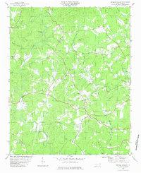
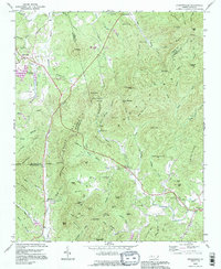
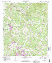
Historical Maps of Union Through Time
16 maps found
1962 Dysartsville
Rutherford County, NC
1965 Sunshine
Rutherford County, NC
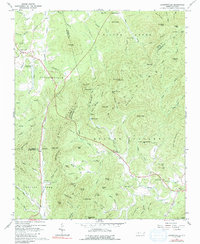
1966 Rutherfordton North
Rutherford County, NC
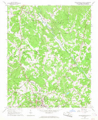
1966 Rutherfordton South
Rutherford County, NC
1982 Shingle Hollow
Rutherford County, NC
1993 Dysartsville
Rutherford County, NC
1993 Rutherfordton North
Rutherford County, NC
1993 Rutherfordton South
Rutherford County, NC
2002 Dysartsville
Rutherford County, NC
2002 Rutherfordton North
Rutherford County, NC
2002 Sunshine
Rutherford County, NC
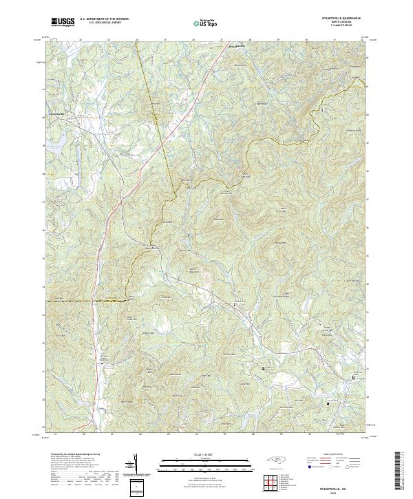
2022 Dysartsville
Rutherford County, NC
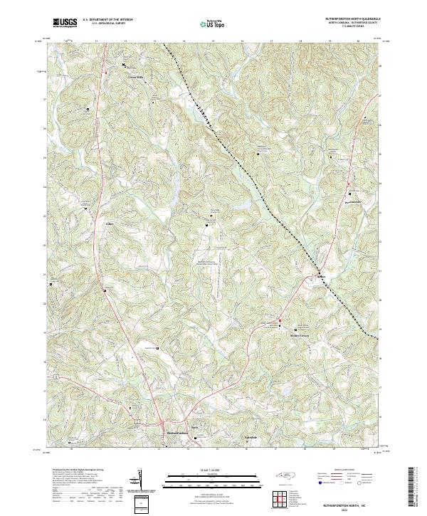
2022 Rutherfordton North
Rutherford County, NC
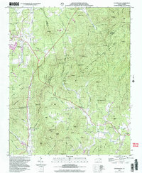
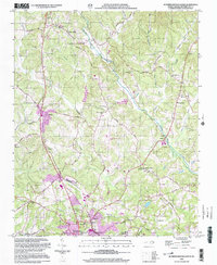
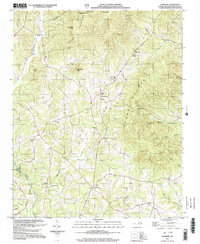
2022 Rutherfordton South
Rutherford County, NC
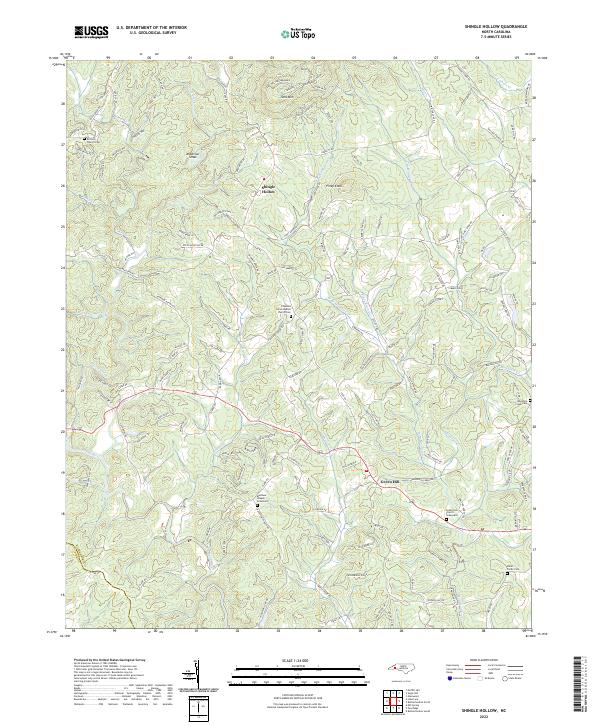
2022 Shingle Hollow
Rutherford County, NC
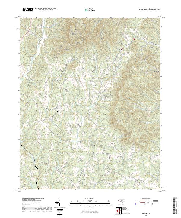
2022 Sunshine
Rutherford County, NC