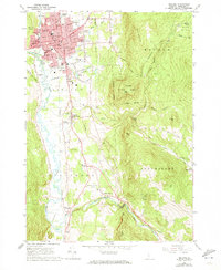
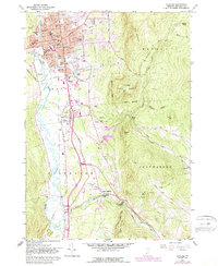
1961 Map of Rutland
USGS Topo · Published 1973About this map
Rutland serves as a bustling urban center in the early 1960s, defined by its complex web of educational and civic institutions. The city is dense with school campuses like Williams Longfellow Sch and Mount St Joseph Academy, alongside major landmarks such as the Riverside Reformatory and the Rutland Municipal Airport. This period captures the city's growth before modern expansion altered the footprint of its outskirts.
Find a feature on this map
60 named features on this map. Tap any name to fly to it.
Don’t see what you’re looking for? This feature index may not catch every label — zoom into the map to look around manually.
Map Details
Editions of this 1961 Rutland Map
5 editions found
Other maps of this area

1891 · Rutland
USGS Topo · 1:62,500

1893 · Wallingford
USGS Topo · 1:62,500

1893 · Rutland
USGS Topo · 1:62,500

1894 · Pawlet
USGS Topo · 1:62,500

1895 · Castleton
USGS Topo · 1:62,500

1897 · Pawlet
USGS Topo · 1:62,500

1897 · Castleton
USGS Topo · 1:62,500

1903 · Mettawee
USGS Topo · 1:125,000

1944 · Proctor
USGS Topo · 1:31,680
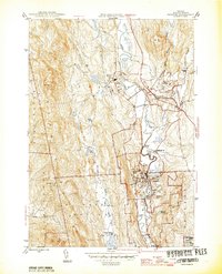
1946 · Proctor
USGS Topo · 1:31,680