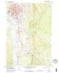
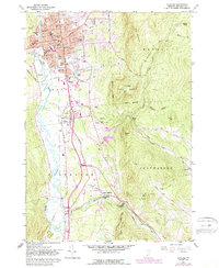
1961 Map of Rutland
USGS Topo · Published 1988About this map
Rutland serves as the focal point of this Vermont landscape, where the urban grid meets the rising slopes of East Mountain. The city's mid-century footprint is detailed with civic landmarks like the Courthouse, Post Office, and Armory, while the industrial and social infrastructure includes the Clarendon and Pittsford RR and Mount St Joseph Academy. To the south, the valley widens around North Clarendon and East Clarendon, revealing a network of rural institutions such as Union Chapel and the Rutland State Airport.
Find a feature on this map
66 named features on this map. Tap any name to fly to it.
Don’t see what you’re looking for? This feature index may not catch every label — zoom into the map to look around manually.
Map Details
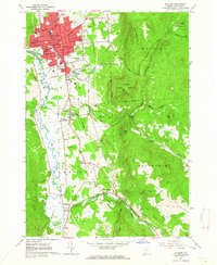
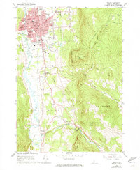
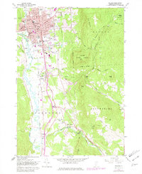
Editions of this 1961 Rutland Map
5 editions found
Other maps of this area

1891 · Rutland
USGS Topo · 1:62,500

1893 · Wallingford
USGS Topo · 1:62,500

1893 · Rutland
USGS Topo · 1:62,500

1894 · Pawlet
USGS Topo · 1:62,500

1895 · Castleton
USGS Topo · 1:62,500

1897 · Pawlet
USGS Topo · 1:62,500

1897 · Castleton
USGS Topo · 1:62,500

1903 · Mettawee
USGS Topo · 1:125,000

1944 · Proctor
USGS Topo · 1:31,680
1946 · Proctor
USGS Topo · 1:31,680