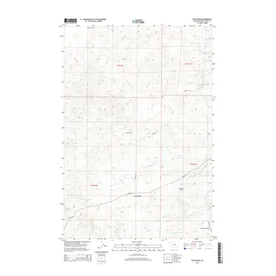
2014 Map of Ryan Creek
USGS Topo · Published 2014About this map
Sourdough stands as the primary namesake settlement in this section of Sweet Grass County, situated at a junction where high-plains geography meets a network of vital seasonal drainages. The landscape is defined by the winding course of Sweet Grass Creek and its many tributaries, including Ryan Cr and Hamilton Cr, which have carved out distinct features like Nash Gulch and Gunnerson Draw. This 2014 survey reveals a transition from natural creek systems to managed water resources, evidenced by the First Creek Reservoir in the southern reaches.
Find a feature on this map
18 named features on this map. Tap any name to fly to it.
Don’t see what you’re looking for? This feature index may not catch every label — zoom into the map to look around manually.
Map Details
Editions of this 2014 Ryan Creek Map
This is the sole edition of this map. No revisions or reprints were ever made.
Other maps of this area
1889 · Big Snowy Mountain
USGS Topo · 1:250,000
1891 · Big Timber
USGS Topo · 1:125,000
1893 · Big Snowy Mountain
USGS Topo · 1:250,000
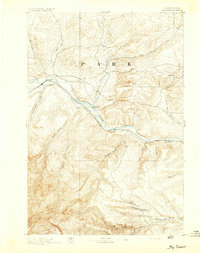
1893 · Big Timber
USGS Topo · 1:125,000
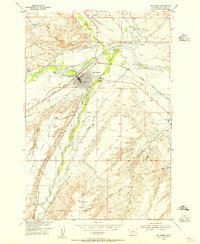
1954 · Big Timber
USGS Topo · 1:24,000
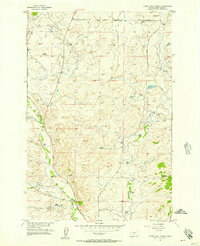
1954 · Otter Creek School
USGS Topo · 1:24,000
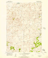
1954 · Ryan Creek
USGS Topo · 1:24,000
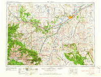
1954 · Billings
USGS Topo · 1:250,000

1954 · Roundup
USGS Topo · 1:250,000
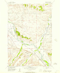
1955 · Greycliff
USGS Topo · 1:24,000