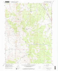
1963 Map of Sabie Mountain
USGS Topo · Published 1979About this map
Wasatch National Forest dominates this high-altitude landscape, where the rugged terrain of the Sheeprock Mountains meets the headwaters of Sabie Creek and Boulter Creek. The map documents a sparsely populated region at the intersection of Tooele and Juab counties, characterized by remote ranching and mining activity. Isolated outposts like Summer Ranch and Dry Farm indicate the seasonal agricultural use of these uplands, while a Quarry and various Gravel Pits near the Union Pacific line in the northeast corner reflect the local industrial footprint.
Find a feature on this map
29 named features on this map. Tap any name to fly to it.
Don’t see what you’re looking for? This feature index may not catch every label — zoom into the map to look around manually.
Map Details
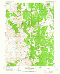
Editions of this 1963 Sabie Mountain Map
2 editions found
Other maps of this area

1885 · Sevier Desert
USGS Topo · 1:250,000

1885 · Tooele Valley
USGS Topo · 1:250,000

1947 · Fivemile Pass
USGS Topo · 1:62,500

1947 · Boulter Peak
USGS Topo · 1:24,000

1953 · Tooele
USGS Topo · 1:250,000

1953 · Delta
USGS Topo · 1:250,000

1954 · Mc Intyre
USGS Topo · 1:24,000

1954 · Tintic Junction
USGS Topo · 1:24,000

1955 · Tooele
USGS Topo · 1:250,000

1958 · Delta
USGS Topo · 1:250,000