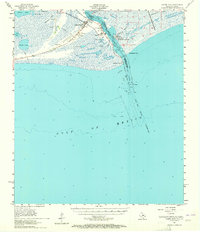
1957 Map of Sabine Pass
USGS Topo · Published 1965About this map
Sabine Pass dominates this coastal landscape where the Texas-Louisiana border meets the Gulf of Mexico. The survey documents a critical maritime gateway defined by the Sabine Pass Channel and the infrastructure required to manage it, including the U S Coast Guard Station, a Pilot Sta, and the Sabine Pass Lighthouse Reservation. Along the marshy interior, the presence of an Old Railroad Grade and several Oil Tanks point to the industrial and transportation history of Jefferson County.
Find a feature on this map
33 named features on this map. Tap any name to fly to it.
Don’t see what you’re looking for? This feature index may not catch every label — zoom into the map to look around manually.
Map Details
Editions of this 1957 Sabine Pass Map
2 editions found
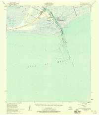
Other maps of this area

1932 · Sabine Pass NE
USGS Topo · 1:31,680

1934 · Johnsons Bayou
USGS Topo · 1:24,000

1935 · Johnsons Bayou
USGS Topo · 1:31,680

1943 · West of Johnson Bayou
USGS Topo · 1:24,000

1943 · Port Arthur South
USGS Topo · 1:24,000

1944 · Sabine Pass
USGS Topo · 1:31,680

1944 · Texas Point
USGS Topo · 1:31,680
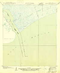
1946 · Sabine Pass NE
USGS Topo · 1:31,680
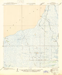
1946 · Port Arthur SE
USGS Topo · 1:31,680

1950 · Houston
USGS Topo · 1:250,000