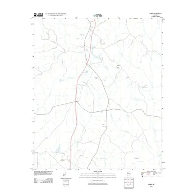
2012 Map of Sable
USGS Topo · Published 2012About this map
The Francis Creek Oil Field and a network of creeks and small lakes define this landscape in Clarke County. The area is marked by rural crossroads and small communities such as Sable, Roy, and Devoe. These settlements are linked by a dense grid of county roads that navigate a terrain carved by watercourses like Archusa Cr, Chinquapin Cr, and Rolling Cr. Local history is anchored by several long-established burial grounds, including New Hope Cem and Union Cem. The presence of Briar Patch Lake and Coker Lake suggests a landscape where water and industry have shaped the local economy. Genealogists and historians can trace the intricate road network that connects family landmarks like O'Neil Bridge to the quiet hamlets and resource sites that have long sustained this part of Mississippi.
Find a feature on this map
68 named features on this map. Tap any name to fly to it.
Don’t see what you’re looking for? This feature index may not catch every label — zoom into the map to look around manually.
Map Details
Editions of this 2012 Sable Map
This is the sole edition of this map. No revisions or reprints were ever made.
Other maps of this area

1921 · Meridian
USGS Topo · 1:48,000

1923 · Meridian
USGS Topo · 1:62,500

1953 · Meridian
USGS Topo · 1:250,000

1957 · Meridian
USGS Topo · 1:250,000

1957 · Chunky
USGS Topo · 1:62,500

1957 · Quitman
USGS Topo · 1:62,500

1957 · Enterprise
USGS Topo · 1:62,500

1965 · Meridian
USGS Topo · 1:250,000

1971 · Vimville
USGS Topo · 1:24,000

1971 · Meridian South
USGS Topo · 1:24,000