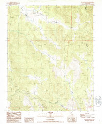
1986 Map of Sacatar Canyon
USGS Topo · Published 1987About this map
Kennedy Meadows and the surrounding high-altitude terrain define this 1980s landscape along the border of Tulare and Inyo Counties. The map documents a sparsely populated but active region where infrastructure like the Sacatar Airstrip and a Fire Sta supported remote operations and safety. This era of mapping shows a land managed for both transit and extraction, evidenced by several Prospect sites and Open Pit Mines concentrated in the southwestern quadrant.
Find a feature on this map
22 named features on this map. Tap any name to fly to it.
Don’t see what you’re looking for? This feature index may not catch every label — zoom into the map to look around manually.
Map Details
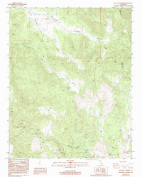
Editions of this 1986 Sacatar Canyon Map
2 editions found
Other maps of this area

1905 · Olancha
USGS Topo · 1:125,000

1906 · Kernville
USGS Topo · 1:125,000

1907 · Olancha
USGS Topo · 1:125,000

1908 · Kernville
USGS Topo · 1:125,000

1908 · Ballarat
USGS Topo · 1:250,000

1913 · Ballarat
USGS Topo · 1:250,000

1915 · Searles Lake
USGS Topo · 1:250,000

1947 · Trona
USGS Topo · 1:250,000

1948 · Trona
USGS Topo · 1:250,000

1948 · Death Valley
USGS Topo · 1:250,000