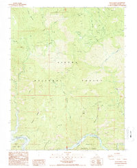
1987 Map of Sacate Ridge
USGS Topo · Published 1987About this map
Pine Flat Lake and the Kings River anchor the southern boundary of this 1987 survey, marking the intersection of three major federal lands: Sierra National Forest, Sequoia National Forest, and Kings Canyon National Park. The landscape is defined by the high-relief drainage basins of Dinkey Creek and Lower Rancheria Creek, which descend toward the reservoir from the heights of Barnes Mountain.
Find a feature on this map
26 named features on this map. Tap any name to fly to it.
Don’t see what you’re looking for? This feature index may not catch every label — zoom into the map to look around manually.
Map Details
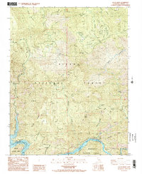
Editions of this 1987 Sacate Ridge Map
2 editions found
Other maps of this area

1904 · Kaiser
USGS Topo · 1:125,000

1922 · Trimmer
USGS Topo · 1:96,000

1924 · Dinuba
USGS Topo · 1:125,000

1942 · Watts Valley
USGS Topo · 1:62,500

1944 · Watts Valley
USGS Topo · 1:62,500

1947 · Mariposa
USGS Topo · 1:250,000

1948 · Fresno
USGS Topo · 1:250,000

1948 · Mariposa
USGS Topo · 1:250,000

1952 · Patterson Mountain
USGS Topo · 1:62,500

1953 · Huntington Lake
USGS Topo · 1:62,500