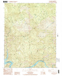
1987 Map of Sacate Ridge
USGS Topo · Published 1987About this map
Pine Flat Lake and the Kings River Lake dominate the southern landscape of this 1987 survey, marking a significant water management and utility corridor within the Sierra National Forest. The presence of the Kings River Powerhouse and several Transmission Lines reflects the mid-century hydroelectric development that shaped this part of Fresno County. Higher elevations are characterized by landmarks like the Fence Meadow Lookout and Sacate Ridge, which provide topographical context to the area's drainage systems.
Find a feature on this map
26 named features on this map. Tap any name to fly to it.
Don’t see what you’re looking for? This feature index may not catch every label — zoom into the map to look around manually.
Map Details
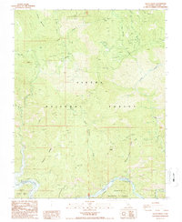
Editions of this 1987 Sacate Ridge Map
2 editions found
Other maps of this area

1904 · Kaiser
USGS Topo · 1:125,000

1922 · Trimmer
USGS Topo · 1:96,000

1924 · Dinuba
USGS Topo · 1:125,000

1942 · Watts Valley
USGS Topo · 1:62,500

1944 · Watts Valley
USGS Topo · 1:62,500

1947 · Mariposa
USGS Topo · 1:250,000

1948 · Fresno
USGS Topo · 1:250,000

1948 · Mariposa
USGS Topo · 1:250,000

1952 · Patterson Mountain
USGS Topo · 1:62,500

1953 · Huntington Lake
USGS Topo · 1:62,500