
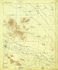
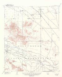
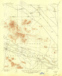
1907 Map of Sacaton
USGS Topo · Published 1907About this map
The Gila River Indian Reservation dominates this desert landscape, where the Gila River and Little Gila River create a vital corridor for early 20th-century life. Settled outposts like Sacaton and Santan serve as focal points for the community, supported by infrastructure such as the Government Pumping Plant and various irrigation ditches. The northern territory is marked by isolated cattle operations, including Andrada's Ranch and Sonoqui's Ranch, where survival depended on deep wells like the Indian Well.
Find a feature on this map
43 named features on this map. Tap any name to fly to it.
Don’t see what you’re looking for? This feature index may not catch every label — zoom into the map to look around manually.
Map Details
Editions of this 1907 Sacaton Map
4 editions found
Other maps of this area

1900 · Florence
USGS Topo · 1:125,000

1902 · Florence
USGS Topo · 1:125,000

1904 · Desert Well
USGS Topo · 1:62,500

1906 · Desert Well
USGS Topo · 1:62,500

1913 · Mesa
USGS Topo · 1:62,500

1914 · Gila Butte
USGS Topo · 1:62,500

1915 · Mesa
USGS Topo · 1:62,500

1917 · Gila Butte
USGS Topo · 1:62,500

1922 · Red Rock No 2
USGS Topo · 1:48,000

1922 · Casa Grande
USGS Topo · 1:62,500