
1895 Map of Sacketts Harbor
USGS Topo · Published 1895About this map
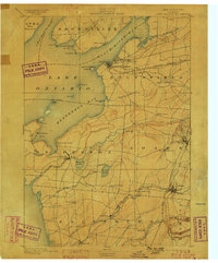
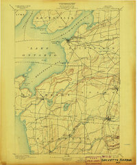
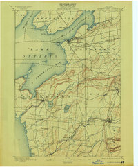
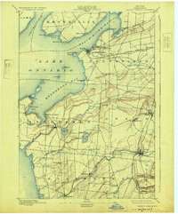
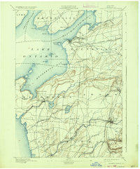
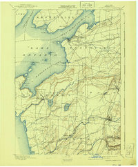
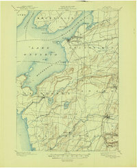
Madison Barracks and the strategic waterfront of Sacketts Harbor anchor this Jefferson County landscape along the eastern shores of Lake Ontario. Surveyed in the late 19th century, the map documents a region defined by its deep maritime and military history, featuring the Sacketts Harbor L.H. at Navy Pt. and the sprawling waters of Black River Bay. Inland, the terrain is partitioned into the townships of Hounsfield, Henderson, and Adams, where small agricultural hubs like Greens Settlement, Hungerford Corners, and Roberts Corners mark the intersections of rural life. Transportation networks are dominated by the R. W. and O. R. R. and the Ogdensburg and Watertown R. R., which facilitated the movement of goods from the interior to lakefront ports such as Henderson Harbor.
Find a feature on this map
65 named features on this map. Tap any name to fly to it.
Don’t see what you’re looking for? This feature index may not catch every label — zoom into the map to look around manually.
Map Details
Editions of this 1895 Sacketts Harbor Map
8 editions found
Other maps of this area

1893 · Sackets Harbor
USGS Topo · 1:62,500

1895 · Stony Island
USGS Topo · 1:62,500

1895 · Pulaski
USGS Topo · 1:62,500

1895 · Watertown
USGS Topo · 1:62,500

1895 · Cape Vincent
USGS Topo · 1:62,500

1898 · Watertown
USGS Topo · 1:62,500

1900 · Clayton
USGS Topo · 1:62,500

1903 · Clayton
USGS Topo · 1:62,500

1903 · Theresa
USGS Topo · 1:62,500

1903 · Orwell
USGS Topo · 1:62,500