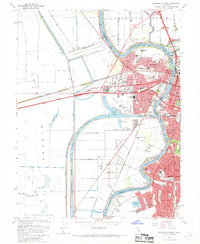
1967 Map of Sacramento West
USGS Topo · Published 1968About this map
The Sacramento River and the newly developed industrial waterfront define this 1960s landscape, where the Sacramento Deep Water Ship Channel meets the Barge Canal. The infrastructure of the Port of Sacramento is clearly visible, including its Turning Basin, Grain Elevator, and Storage Bins, signaling the city's growth as a major inland maritime hub. In West Sacramento, the layout of neighborhoods like Bryte and Broderick shows a community transitioning between its older rail-oriented roots and new suburban expansion.
Find a feature on this map
95 named features on this map. Tap any name to fly to it.
Don’t see what you’re looking for? This feature index may not catch every label — zoom into the map to look around manually.
Map Details
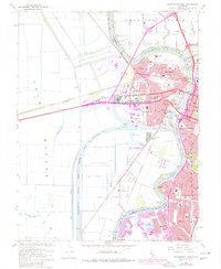
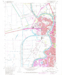
Editions of this 1967 Sacramento West Map
3 editions found
Other maps of this area

1891 · Sacramento
USGS Topo · 1:125,000

1892 · Sacramento
USGS Topo · 1:125,000

1893 · Sacramento
USGS Topo · 1:125,000

1894 · Lodi
USGS Topo · 1:125,000

1902 · Fairoaks
USGS Topo · 1:62,500

1907 · Davisville
USGS Topo · 1:62,500

1908 · Courtland
USGS Topo · 1:62,500

1909 · Florin
USGS Topo · 1:31,680

1911 · Brighton
USGS Topo · 1:31,680

1911 · Arcade
USGS Topo · 1:31,680
Featured Places
- Sacramento, CA
- West Sacramento, CA
- Mikon, West Sacramento
- Riverview, West Sacramento
- Lovdal, West Sacramento